Amazon and Cerrado concentrated 97% of the 12,000 km2 deforested in Brazil in 2019
Extension of the area deforested in the country last year is 50% larger than the Metropolitan Region of São Paulo

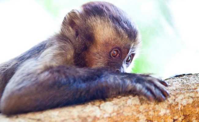
Image: Vinícius Mendonça/Ibama - CC BY-SA 2.0
Almost 97% of the area deforested in Brazil last year was within its two largest biomes, the Amazon and the Cerrado, which cover, respectively, half and just over a fifth of the national territory. In 2019, approximately 12 thousand square kilometers (km²) of native vegetation in the country were cut, equivalent to one and a half times the sum of the 39 municipalities in the São Paulo Metropolitan Region. Of the deforested territory, 63% were in the Amazon and 33.5% in the Cerrado.
In the other ecosystems (Pantanal, Caatinga, Atlantic Forest and Pampas), the areas with removed vegetation totaled around 400 km² (see table). Half of the deforested area in the country was concentrated in three states: Pará (2,990 km²), Mato Grosso (2020 km²) and Amazonas (1,260 km²). Fifty municipalities, mostly from the North region, accounted for half of the total deforestation.
The data is part of the First annual report on deforestation in Brazil, launched at the end of May by MapBiomas, an initiative of the Climate Observatory, a non-governmental organization (NGO) that brings together 36 Brazilian civil society entities, dedicated to mapping land use in the country. According to the document, more than 99% of deforestation was done illegally, that is, without authorization to cut or in prohibited areas.
“We are the country that deforests the most in the world. Indonesia, which is in second place, annually deforests an area smaller than half of what is removed in Brazil”, says forestry engineer Tasso Azevedo, coordinator of MapBiomas. But the territory of this Asian country, home to 260 million inhabitants, is equivalent to a quarter of Brazil.
The report counts deforested areas starting at 0.003 km² (3,000 square meters), approximately half the size of a football field. Crossing data from the Rural Environmental Registry (CAR) and authorizations to cut vegetation and forest management plans, the work also identified whether the removal of vegetation occurred in conservation units and indigenous lands. In 2019, there was at least one deforestation alert in 16% of the 1,453 areas registered in the National Registry of Conservation Units and in 37% of the 573 indigenous lands located in the national territory.
Using its own methodology to consolidate the status of each biome, the report uses as its source of deforestation data three different monitoring programs that are publicly accessible and free of charge. For the Amazon, alerts issued by the Deforestation Detection System in Real Time (Deter) of the National Institute for Space Research (Inpe) and by the Deforestation Alert System (SAD) of the Institute of Man and the Environment were used. da Amazônia (Imazon), an environmental organization operating in the North region. The Cerrado data came only from Deter. The situation of other ecosystems was taken from information from the Global Land Analysis & Discovery (Glad), an initiative of the University of Maryland, in the United States.
As the first, the new report cannot serve as a basis for making comparisons with the past and inferring trends in increasing and decreasing deforestation. But other studies indicate that deforestation has had an upward bias in the Amazon since last year, after having fallen between 2005 and the middle of the last decade. Responsible for measuring the official deforestation rates in the Amazon (and also in the Cerrado), Inpe has not yet closed the consolidated figure for 2019. For now, it has only released an estimate that last year's deforestation reached 9,762 km², an increase of almost 30% compared to 2018.
Later this month (June), the final value of the deforestation rate should be calculated and disclosed. “Certainly, the growth trend of deforestation last year will be maintained”, comments the specialist in remote sensing Cláudio Almeida, coordinator of Inpe's Amazon and other Biomes Monitoring Program. "Historically, the consolidated number presents an average variation of 4%, more or less, in relation to the preliminary estimate."
The provisional figure for deforestation in the Amazon calculated by Inpe is greater than that presented by the work of MapBiomas due to three major methodological differences. In their analyses, the federal institute and the NGO use, as a reference for deforestation, different monitoring systems and do not adopt exactly the same geographic area and observation period.
In addition to Deter, whose main function is to issue alerts on active areas of forest removal in order to guide the inspection actions of the Brazilian Institute for the Environment and Renewable Natural Resources (Ibama), Inpe maintains the Deforestation Monitoring Program at Legal Amazon (Prodes). Created in 1998, Prodes considers deforestation to be the removal of any and all vegetation, the so-called clear cut, in an area of at least 0.0625 km² (see Pesquisa FAPESP nº 283).
The official data on the annual rate of deforestation released by Inpe come from Prodes and refer to the Legal Amazon, a political-administrative definition that, in addition to the areas of the humid tropical forest, encompasses a small portion of the Cerrado. MapBiomas uses Deter as the source for its calculations and works with the concept of the Amazon ecosystem, following the geographic limits of this biome defined by the Brazilian Institute of Geography and Statistics (IBGE).
Finally, MapBiomas uses data from January to December 2019 in its report to calculate last year's deforestation rate across Brazil. In the case of Inpe, Prodes records records from August of one year to July of the following year. The 2019 deforestation rate therefore includes information obtained between August 2018 and July 2019.
Short-term data indicate that the cutting of native vegetation in the North region continues at an accelerated pace, even after the arrival of the Covid-19 pandemic in the country. According to the latest Imazon bulletin, 1,073 km² were deforested in the Legal Amazon from January to April 2020. There was a 133% increase in the deforested area compared to the same period in 2019. Data are from SAD, created in 2008 by Imazon , which uses Earth observation images provided by the Landsat satellite families of the US space agency (NASA) and Sentinel of the European Space Agency (ESA).
The system is capable of detecting the cutting of vegetation in areas from 0.01 km² (1 hectare). The same trend is outlined in the data from Deter, from Inpe. In the first four months of 2020, this system registered the highest number of deforestation alerts in the Amazon in the last five years. From January to April this year, deforestation reached an area of 1,202.4 km², 55% larger than in the same period in 2019.
The situation is also worrying in other biomes in the country. Over a decade and a half, the Cerrado, where a large part of the national agribusiness is concentrated, reduced the area deforested annually to a quarter. But since 2016, that number has dropped consistently. It varies between 7,000 and 6,500 km² deforested every 12 months, according to the Prodes system. In the Atlantic Forest, the most devastated biome historically, where more than 70% of the Brazilian population is concentrated, deforestation, which had been declining since 2016, started to grow again.
According to a survey released last month by the SOS Mata Atlântica entity in partnership with Inpe, the removal of vegetation in this biome increased 27.2% in the 2018/2019 period compared to the previous one. 145 km² were deforested. More than half of the deforestation took place in two states, Minas Gerais and Bahia. In São Paulo, 0.43 km² of the biome was eliminated, less than half of what was registered in the previous period. “For the first time, two states managed to bring deforestation to zero: Alagoas and Rio Grande do Norte”, commented, in press release material, Marcia Hirota, executive director of SOS Mata Atlântica.
As there are still no specific programs for continuous monitoring of deforestation in other Brazilian biomes (Caatinga, Pantanal and Pampas), it is difficult to know precisely what happens in these ecosystems. “Today, we do this work with the Amazon and the Cerrado. But by 2022 we must extend this service to the other biomes”, says Cláudio Almeida, from Inpe.
This text was originally published by Pesquisa FAPESP under the Creative Commons CC-BY-NC-ND license. read the original