In 30 years, the Atlantic Forest has regenerated the size of the city of São Paulo
Check the data in the table and in the regeneration map
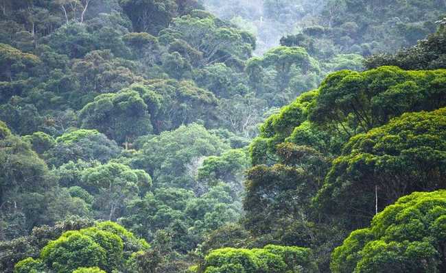
Image: Wikimedia Commons
The SOS Mata Atlântica Foundation and the National Institute for Space Research (Inpe) released an unprecedented assessment of the regeneration of the Atlantic Forest. The Atlas of Forest Remnants of the Atlantic Forest, which monitors the spatial distribution of the biome, identified the regeneration of 219,735 hectares (ha), or the equivalent of 2,197 km², between 1985 and 2015, in nine of the 17 states of the biome. The area corresponds to approximately the size of the city of São Paulo.
According to Atlas data, Paraná was the state with the most regenerated areas in the period evaluated, totaling 75,612 ha, followed by Minas Gerais (59,850 ha), Santa Catarina (24,964 ha), São Paulo (23,021 ha) and Mato Grosso of the South (19,117 ha).
| state | UF Area | Atlantic Forest Law | % Biome | Kills 2015 | % Woods | Regeneration 1985-2015 |
| ES | 4.609.503 | 4.609.503 | 100% | 483.158 | 10,5 | 2.177 |
| GO | 34.011.087 | 1.190.184 | 3% | 29.769 | 2,5% | 196 |
| MG | 58.651.979 | 27.622.623 | 47% | 2.841.728 | 10.3% | 59.850 |
| MS | 35.714.473 | 6.386.441 | 18% | 707.136 | 11,1% | 19.117 |
| PR | 19.930.768 | 19.637.895 | 99% | 2.295.746 | 11,7% | 75.612 |
| RJ | 4.377.783 | 4.377.783 | 100% | 820.237 | 18,7% | 4.092 |
| LOL | 26.876.641 | 13.857.127 | 52% | 1.093.843 | 7,9% | 10.706 |
| SC | 9.573.612 | 9.573.618 | 100% | 2.212.225 | 23,1% | 24.964 |
| SP | 24.822624 | 17.072.755 | 69% | 2.334.876 | 13,7% | 23.021 |
| 219.735 |
The study mainly analyzes the regeneration of forest formations that are in the initial stage of native vegetation, or areas previously used for pasture and that are currently in an advanced stage of regeneration. This process is due both to natural causes and induced through the planting of native tree seedlings.
Over the last 30 years, there has been an 83% reduction in deforestation in the biome. According to Marcia Hirota, executive director of the SOS Mata Atlântica Foundation, seven of the 17 states in the Atlantic Forest already have zero deforestation: “Now, the challenge is to recover and restore the native forests that we have lost. Although the current survey does not indicate the causes of regeneration, that is, whether it occurred naturally or is the result of forest restoration initiatives, it is a good indication that we are on the right path”, observes Marcia.
Throughout history, the NGO has been responsible for planting 36 million native tree seedlings throughout the country, especially in permanent preservation areas, around springs and on the banks of water-producing rivers, in addition to restoring an area in Itu, a former coffee farm, which is now used for activities related to the conservation of natural resources and forest restoration.
“During the monitoring, it was found that there were other areas occupied by forest-sized communities in various intermediate stages of regeneration, areas that should be mapped and disclosed in future studies”, explains Flávio Jorge Ponzoni, researcher and technical coordinator of the study by INPE.
This study was carried out with the sponsorship of Bradesco Cards and technical execution by the geotechnology company Arcplan. The analysis is based on images generated by the OLI sensor aboard the Landsat 8 satellite. The Atlas uses remote sensing and geoprocessing technology to monitor forest remnants above 3 ha.
Check maps of regenerated areas:
Source: SOS Mata Atlântica