Annual deforestation rates in the Amazon continue to grow
The official consolidated rate of deforestation in the Legal Amazon last year was 34% higher than in 2018
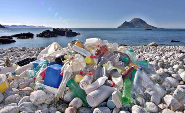
Edited and resized image by Meritt Thomas is available on Unsplash
The official consolidated deforestation rate in the Legal Amazon last year was 10,129 square kilometers (km 2 ), 34% higher than in 2018 (7,536 km 2 ), according to data from the Monitoring Project for Deforestation in the Legal Amazon by Satellite ( Prodes), from the National Institute for Space Research (Inpe). The definitive number, calculated to help the Brazilian government formulate possible public environmental policies, is slightly higher than the preliminary deforestation rate released by Inpe last December, of 9,762 km 2 . “This small variation in relation to the estimate that we had disclosed is within expectations”, says the specialist in remote sensing Cláudio Almeida, coordinator of Inpe's Program for Monitoring the Amazon and other Biomes. “We are once again passing the psychological barrier of 10,000 km 2 of annual deforestation.”
Since 2008, when Prodes recorded 12,911 km 2 of deforestation in the region, the rate was not so high. The system began recording deforestation in the Legal Amazon in 1988. The most critical year in the historical series was 1995, when more than 29,000 km 2 of forest were deforested. The second worst year was 2004, with more than 27 thousand km 2 deforested. The so-called Prodes year includes data obtained between August of the previous year and July of the year in question. Thus, the 2019 deforestation rate uses information recorded between August 2018 and July 2019.
More than 40% of total deforestation in the Legal Amazon last year was concentrated in Pará, where the area of cut vegetation increased 52% over the previous year. In 2019, 4,172 km 2 of vegetation were removed in this state, compared to 2,744 km 2 in 2018. After Pará, the states that most promoted the cutting of vegetation were Mato Grosso, Amazonas and Rondônia, which accounted, respectively, for 17%, 14% and 12% of the area of vegetation removed in 2019. Together, the four states accounted for almost 85% of the area deforested last year. The Prodes annual rate is calculated from satellite records of the so-called clear cut in areas of at least 6.25 hectares (0.0625 km 2 ). The clear cut removes any and all vegetation in an area.
Inpe also released another calculation that shows the increase in deforestation in the Legal Amazon. It is called the increase in deforestation, also based on data from Prodes, but covering the cutting of vegetation in areas of any size, including smaller than 6.25 hectares. This approach indicates that the total area deforested in 2019 in the Amazon was 10,896 km 2 . Calculated since 2008, the increment tends to be a little higher than the official deforestation rate. But the two numbers tell the same story in general terms. However, the increment makes it possible to monitor the evolution of vegetation cut in municipalities, conservation units and indigenous lands, filters that cannot be used to calculate the annual rate. “We know exactly the spatial location of each deforested area”, comments Almeida.
Both in the conservation units and in the indigenous lands, the increase in deforestation was a record in 2019. In the units, 1,110 km 2 of vegetation were cut last year, 45% more than in 2019 (767 km 2 ). Created in 2006 by the government of Pará, the Triunfo do Xingu Environmental Protection Area lost 436 km 2 of forests and, alone, represented 40% of the total deforestation in conservation units last year. In indigenous lands, deforestation reached 497 km 2 , almost double the 260 km 2 of vegetation cut in 2018 on this type of property. In 2019, about a quarter of deforestation in indigenous lands was concentrated in the Ituna-Itatá reserve, in Pará, near the Belo Monte Plant. 120 km 2 were deforested, just under 10% of the total area of the indigenous reserve. The second most deforested indigenous land, with 85 km 2 of vegetation removed in 2019, was that of the Apyterewa, also in Pará.
What is worrying is that data for the first five months of 2020 continue to show an increase in deforestation in the Legal Amazon. According to information from the Real Time Deforestation Detection System (Deter), another Inpe monitoring program, 2,034 km 2 were deforested in the region from January to May this year, 34% more than in the same period in 2019. “Unfortunately , deforestation is out of control. The increase this year is very worrying because it is occurring before the end of the rainy season in the Amazon”, comments physicist Ricardo Galvão, from the University of São Paulo, who was director of Inpe between 2016 and August of last year. The bulk of deforestation in the region usually occurs in the less humid season, between late May and October. Galvão was removed from his post at Inpe after defending the honesty and veracity of the deforestation data produced by the institute, which had been questioned, without reason, by the president of the Republic and ministers of state.
The Prodes and Deter systems are not the only ones to point out the recent resurgence of vegetation cutting in the Amazon. Monitoring carried out by civil society entities, such as the Deforestation Alert System (SAD), of the Amazon Institute of Man and Environment (Imazon), and MapBiomas Alerta, of the non-governmental organization MapBiomas, also indicate a rise in deforestation in the region. largest rainforest on the planet.
This text was originally published by Pesquisa FAPESP under the Creative Commons CC-BY-NC-ND license. read the original